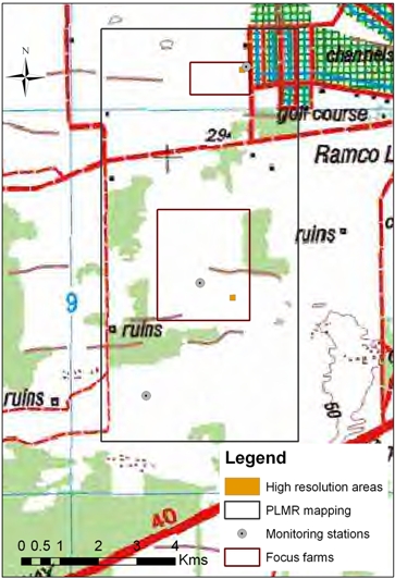
* Farm_Box.shp: Boundaries of the Duffield and Auncote focus farms;
* Farms_topo.shp: Various topographic features recorded during survey;
* Point.shp: Various reference points recorded with GPS during survey (e.g., fences, gates);
* HRareas_centres.shp: Centre point coordinate of the two high resolution sampling areas;
* PLMR_plot_box.shp: Approx Boundary of the PLMR mapping area;
* Sampling_areas.shp: Polygons defining the extent of the two high resolution sampling areas;
* Vegetated_areas.shp: Boundaries of forested areas recorded by ground survey.
Download data (28Kb)
Overview of the vector data